Norton Canon village hall is an attractive venue for a variety of functions, activities and meetings with good access, lots of parking space and fabulous views from the grassy outside area.
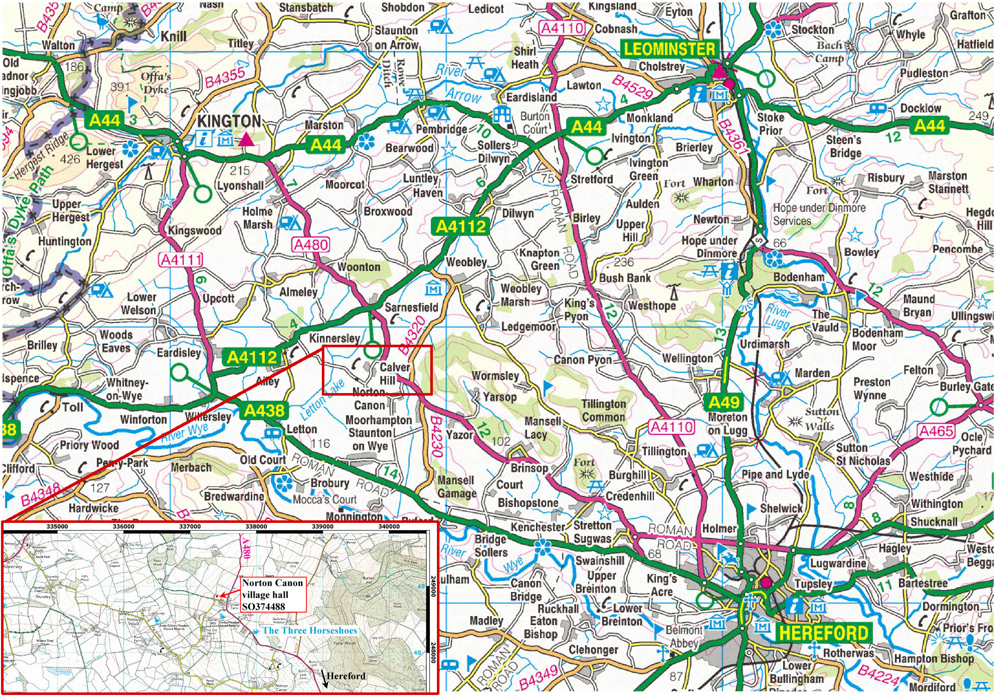
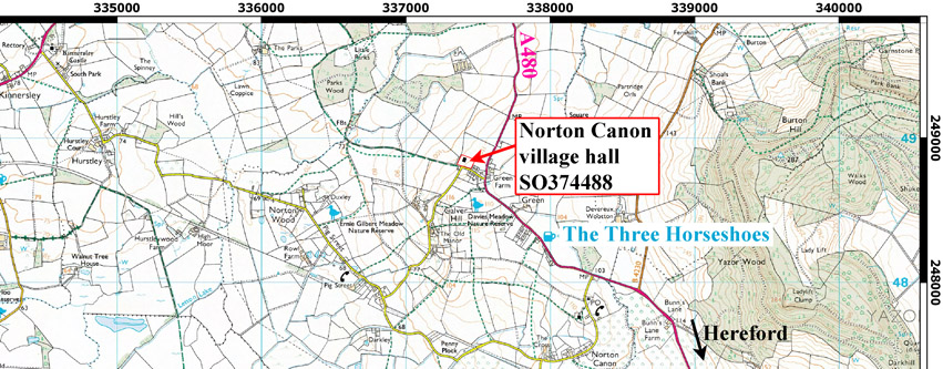
The Hall is conveniently situated just off the A480 between Hereford and Kington, just south of Sarnesfied cross roads. Address: Kittys Lane, Norton Canon, Herefordshire HR4 7BW.
Location map for view or download here, large scale close up here
Hire rates: Basic rate £9/hour, special rates may apply for events, please enquire
Contact Ruth Lovelace 01544 318138 email ruthlovelacehfds@gmail.com
You will need to complete our hiring agreement
Charity number 520974 The 2023 AGM was held on 9th May.
County village halls: here the local parish council: here Norton Canon village hall constitution here